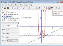
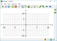
It can be used to draw mathematical graphs in a coordinate system.
Graph Cartesians, polars, parametrics, slope fields, volumes of rotation.
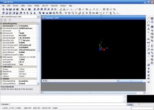
Workflow solution for geological modelling.
Complete drawing environment with survey utilities.
Program for people who draw different graphs of math functions.